Wairua progress map
Wairua, Northland FACTS
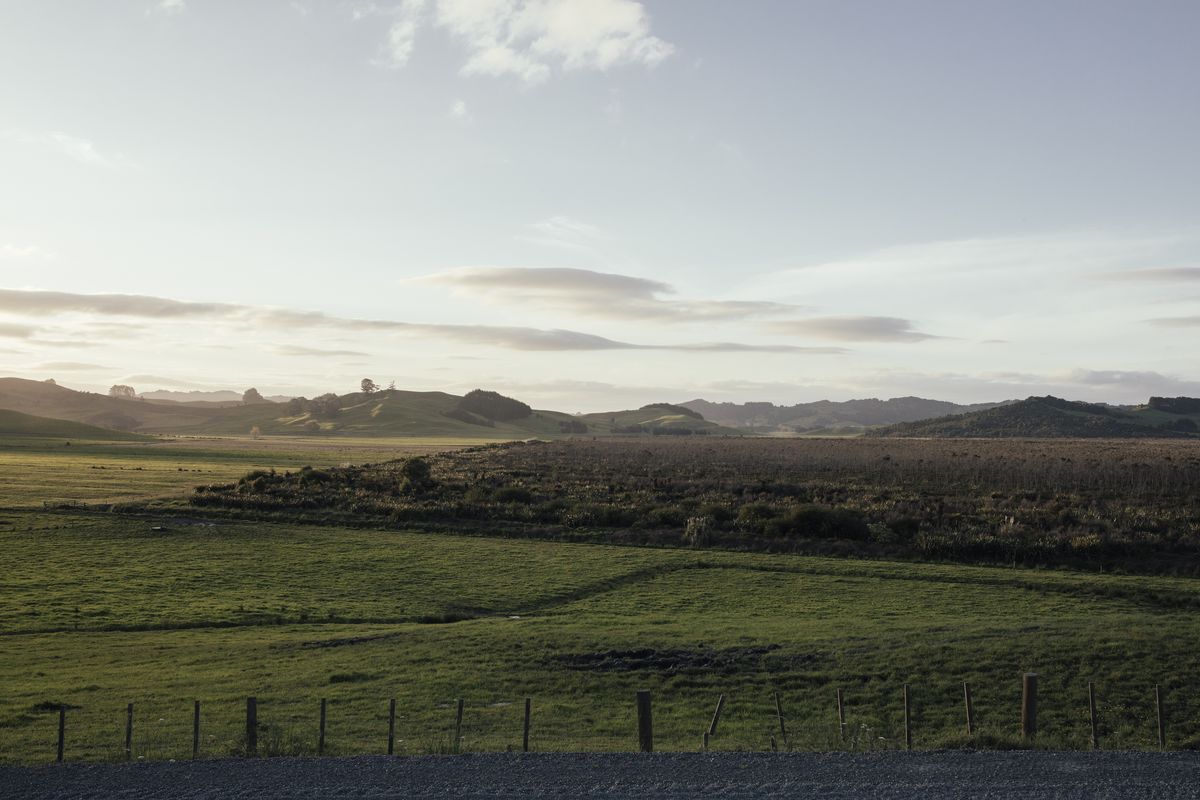
About the area
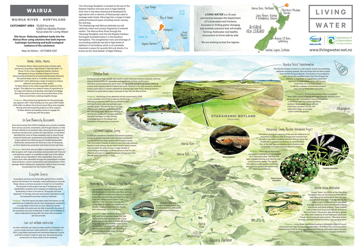
Located at the top of the Kaipara Harbour catchment, the 75,000 hectare Wairua River catchment includes the 5,000 hectare Hikurangi floodplain. Once a giant wetland, the floodplain has been largely drained and developed for agriculture, forestry, horticulture, and lifestyle blocks. A biodiversity hotspot, the floodplain is characterised by two large wetlands (Otakairangi and Wairua), as well as dozens of small, isolated and fragmented wetland and riparian forest remnants. It also includes a very important tuna (freshwater eel) fishery.
The Wairua River flows into the Wairoa River and then into the Kaipara Harbour. The Kaipara Harbour is the largest enclosed harbour in the Southern Hemisphere, and the second largest harbour in the world. It is also known as the ‘food basket’ of Ngāti Whātua. The harbour has been recognised as an extremely important nursery for juvenile fish and sharks, particularly snapper, grey mullet, flounder and mako and great white sharks.
The challenge
In Wairua there has been a significant loss of wetland and freshwater ecosystems. Water quality is poor due to high levels of suspended sediment. Much of this has been caused by various productive land uses in the catchment and modification of the waterway, wetland and peat soil hydrology for drainage purposes.
Living Water’s key focus is on reducing sediment loads into the Wairua River by using solutions that improve hydrologic functioning and ecological resilience of the catchment. Living Water is working within the Waimā, Waitai, Waiora partnership to reduce sediment and bacteria levels in the Wairoa River and its tributaries by working with landowners to implement sustainable land management practices informed by Mātauranga Māori. Projects include accelerating the delivery of Farm Environment Plans, trialling farm and catchment level sediment management approaches, capturing knowledge about mātauranga from mana whenua and working with farmers and iwi/hapu to co-design and monitor freshwater improvement projects in the Okarika Pocket sub-catchment as a sustainable dairying and healthy freshwater demonstration.
At a glance
- 75,000ha total catchment area
- 4 main types of farming (dairy, horticulture, arable, forestry)
- 36% of the catchment is Fonterra dairy farms