Revealing the hidden characteristics of landscapes: a powerful tool for change
Media release May 2022
What if there was a way to reveal the characteristics of a landscape so farmers and landowners could make informed decisions about the best use of their land, to reduce negative environmental impacts?
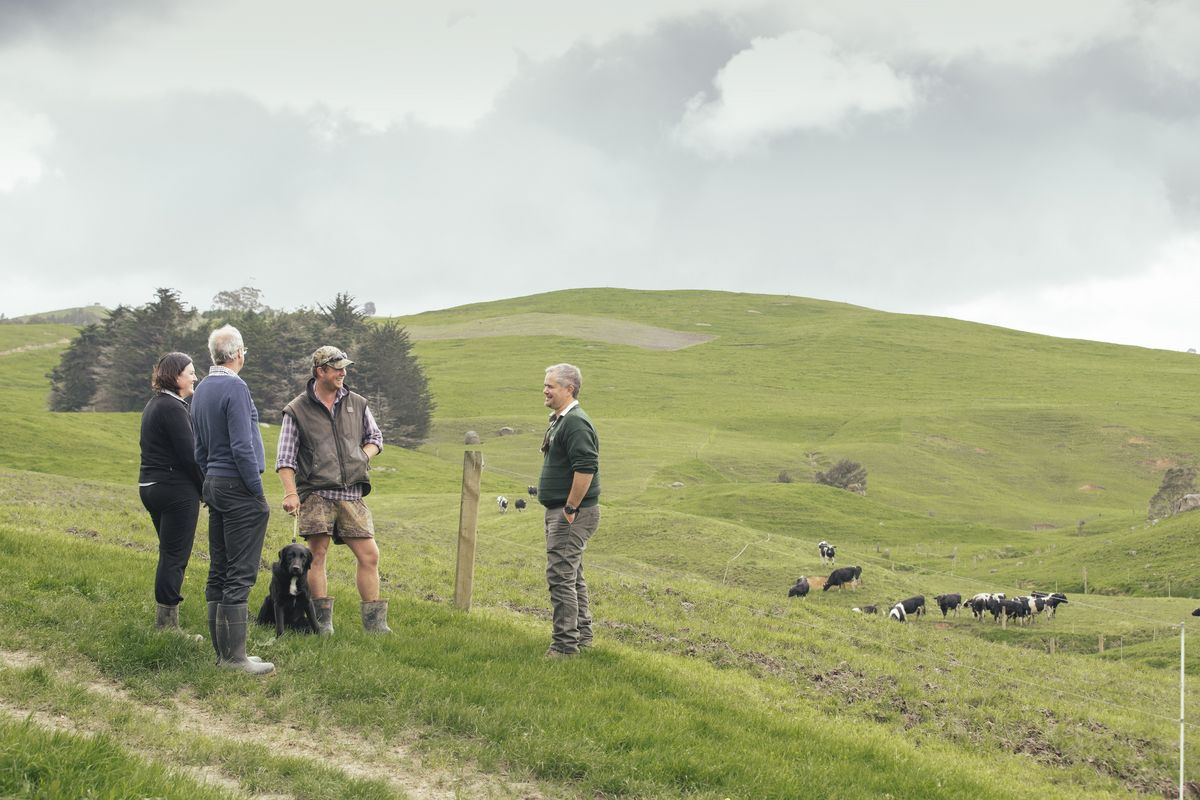
That’s the goal of the LandscapeDNA tool created by Land & Water Science and being supported by Living Water, a partnership between the Department of Conservation (DOC) and Fonterra with a vision of dairy farming and freshwater ecosystems thriving together. Living Water National Manager, Sarah Yarrow says a key focus for the partnership is finding ways to better support landowners and farmers with information and services so they can make informed decisions on how to best manage their farming with the environment.
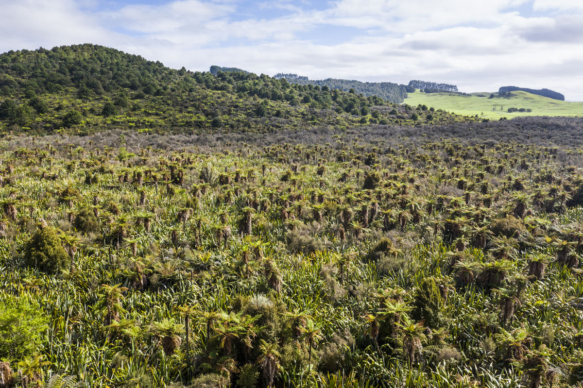
“New Zealand is one of the most geologically diverse countries in the world”, says Yarrow. “That means there can be very different nutrient losses from farm to farms, or even from paddock to paddock, because of the differences in land characteristics such as topography, soil type and geology. In some places, the landscape characteristics alone can be responsible for at least two times the variation in water quality compared to the type of land use on its own.”
Sarah Yarrow
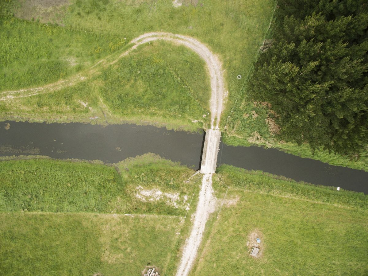
Living Water is supporting the development of a new spatial mapping tool called ‘LandscapeDNA’, which builds on a previous project called ‘Physiographics’. Living Water contracted Land & Water Science Ltd in 2017 to develop their ‘Physiographics’ environmental mapping tool to study how water travels over land and below ground in the Waituna catchment in Southland, under different rainfall conditions. This enabled landowners to make informed decisions about where to place catchment-scale interventions like peak run-off control structures to reduce nutrients and sediment inputs to Waituna Lagoon. It also confirmed the impact variations in land characteristics, such as soil type, geology and gradient, have on water quality.
The success of the Waituna Physiographics project led Land & Water Science to extend this approach for the whole of New Zealand. With funding from Living Water and the MPI Sustainable Farming Fund it has been developed into a map-based web tool that brings all the information together into one platform. Yarrow says making information available about how the characteristics or DNA of the land affects water quality will be transformational for landowners nationally as it is in Waituna.
“This is hugely significant because for years farmers have been changing aspects of their farming practices, such as their use of fertilisers to reduce nitrogen run-off entering waterways, often to little or no effect. This has been intensely frustrating for farmers wanting to do the right thing for the environment and their farms”, says Yarrow. “The LandscapeDNA project provides an in-depth picture of landscape characteristics under our feet which will enable farmers to understand why and how their land is contributing to water quality, and what decisions they need to make about future land management to improve water quality.”
The next stage of LandscapeDNA that Living Water is supporting is to develop an online service that provides automated reporting of environmental and spatial data in an understandable format and at a relevant scale, be that paddock, farm or catchment. Yarrow says the goal is to develop an accessible online service that integrates accurate landscape and farming financial information to enable land users to make informed decisions about land use to reduce impacts on water quality efficiently and effectively.
“With access to accurate spatial landscape data landowners can make their own decisions on how to manage their land to minimise risks of pollution and maximise production”, says Yarrow. “Previously this information was difficult to obtain, often not presented in a usable format and expensive to tailor to a particular paddock or property. The LandscapeDNA project will make information accessible to landowners, so it can be integrated into farm environment plans (FEPs) to support on-farm actions.”