Waituna Creek Fish Survey
Living Water is working with landowners, Fonterra, the Department of Conservation, Whakamana te Waituna and local iwi to find solutions for freshwater and dairying to co-exist in the Waituna catchment.
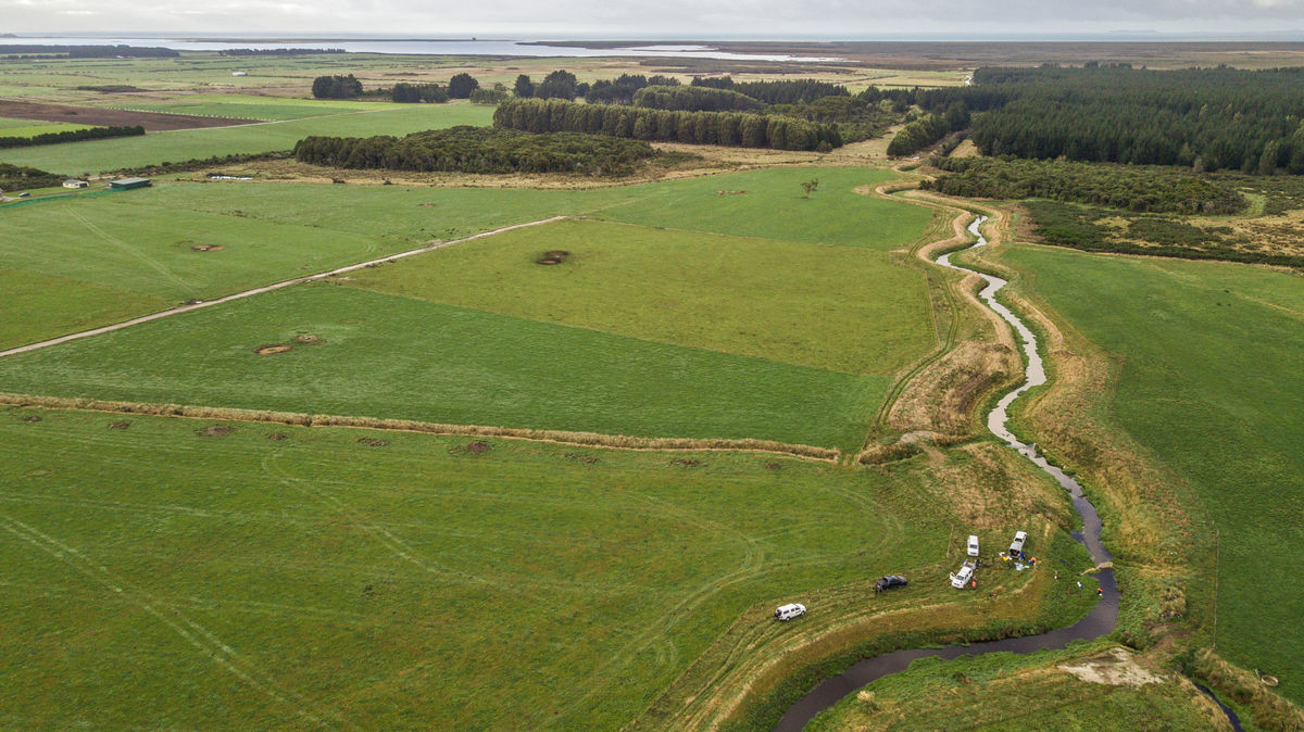
Recently our partners at the Cawthron Institute, conducted the first fish survey in Waituna Creek since we started our restoration project to re-establish fish habitats here.
The fish survey involves catching, identifying, weighing and measuring fish to assess the quantity and overall health of different species in the creek. It is is the biggest event on the calendar for our Southland team and a huge undertaking requiring extra people from the community and DOC, good weather (tricky in the deep-south) and some high spec equipment.

Waituna Creek fish survey full video
Watch as the Jane Bowen, Living Water Waituna Site Lead and Robin Holmes, Freshwater Ecologist at Cawthron Institute talk us through electrofishing, what we're trying a to achieve here at Waituna creek and why this is important for our future.
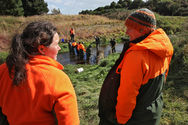
We survey a 40m-long section of the creek. Catchers stand across the creek using large nets to stop the fish slipping through while qualified operators use two electrofishing machines that create an electric current to temporarily stun, but not harm the fish. The catchers then can quickly scoop them up, give them to runners who take the fish to people recording the data.
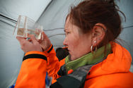
To minimise any stress on the fish, they are quickly grouped by species, weighed and measured before being returned to the creek . We repeat the process at four sites - one site per day.
Over many years, Waituna Creek has been straightened and cleared degrading many fish habitats. We first began collecting baseline data five years ago - before starting our restoration work - so we can measure any changes resulting from our project. Ideally, we would like to see a steady increase in fish, but it will take more than a year for them to find the new habitats so another survey will be done in two years.
If survey results show there is an increase in freshwater fish as a result of our habitat restoration work, we will restore habitats in other areas of the creek.
Waituna Site Lead, Jane Bowen, says the restoration project has been a careful balance of creating new habitats without causing new problems downstream.
“We were especially careful not to reduce the flood capacity of the creek, which could increase sediment being dumped in the lagoon during high flows.
“Extra care was also taken with the logs to make sure they wouldn’t break free causing blockages further downstream - we even got NIWA to model different log configurations to make sure they wouldn’t create bank erosion,” says Jane.
This is a great example of how the function of a stream can be improved without impacting on surrounding farmland.
Notes: Waituna is recognised as a RAMSAR wetland of importance because of its birdlife, vegetation, natural habitat and unmodified wetland. The creek and lagoon at Waituna (meaning ‘water of the eels’) are also important to Ngai Tahu, which has the vision: Mana oranga; Mana tangata; Mana ki uta; Mana ki tai; Mana Waituna. Ensuring the wellbeing of the people, the land, the waters, the ecosystems, and the life-force of the Waituna catchment and lagoon, now and for future generations through a partnership approach.
