Otakairangi Wetland Baseline Information Project
What is this project about?
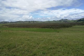
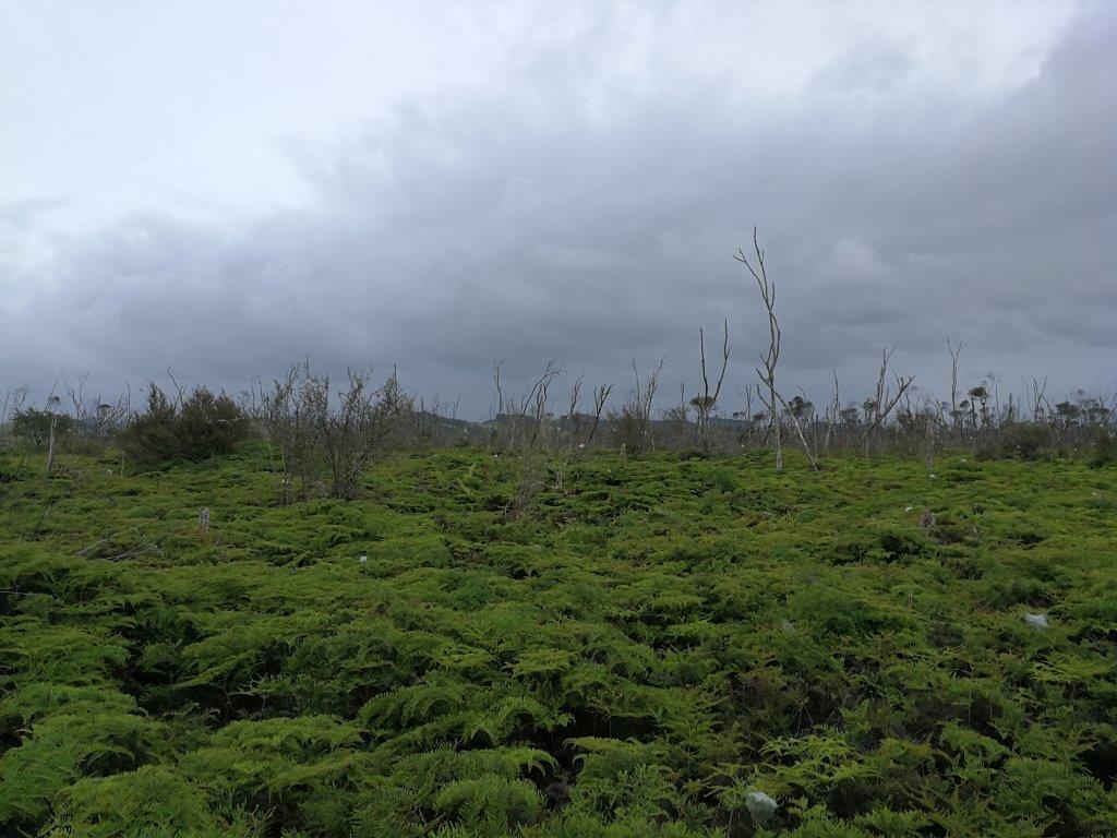
Research and monitoring are critical for understanding the causes and locations of water quality issues. Within the Hikurangi floodplain in Northland is the 2.6 square kilometre Otakairangi swamp, a remnant of the rare fen wetland. Living Water wanted to identify the threats to this wetland. Several research projects were commissioned to get a comprehensive understanding of the swamp, to enable a fully informed restoration plan to be prepared and implemented.
What is the issue?
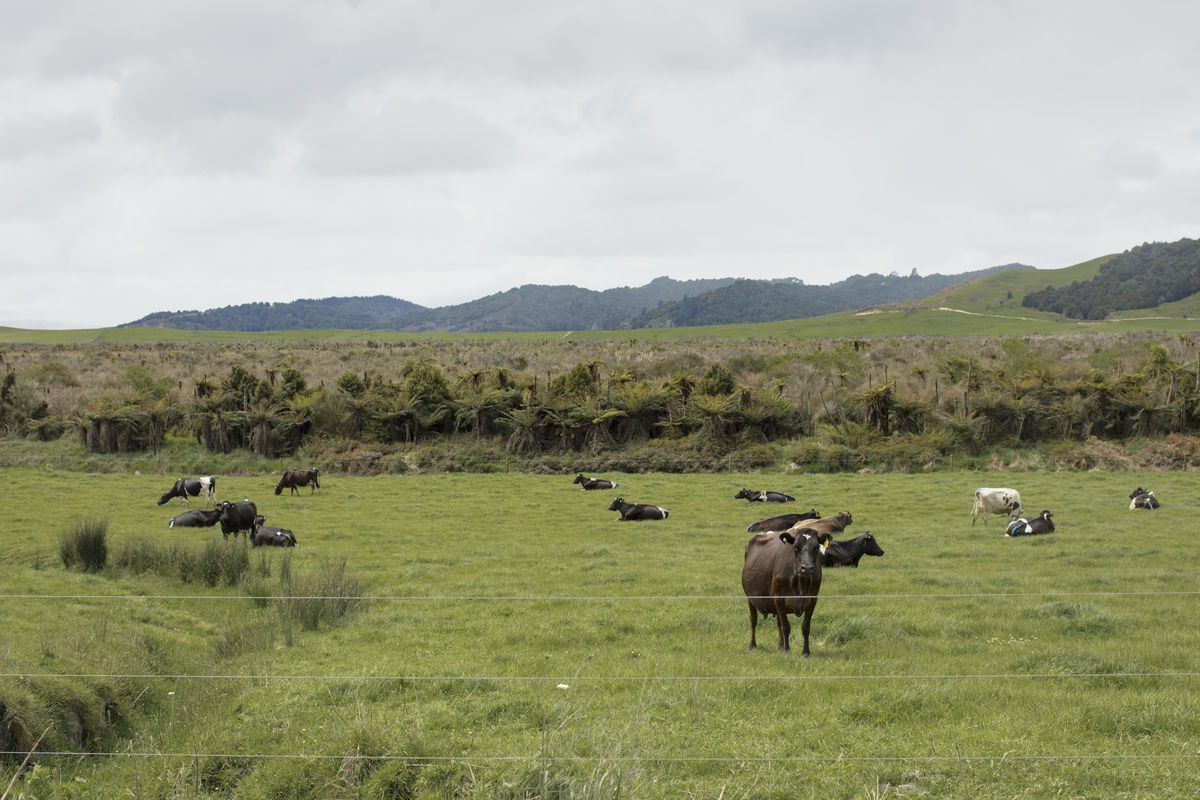
The Otakairangi Swamp is a remnant of what would have been a much more common vegetation type in the Upper Wairua catchment floodplain before being cleared for farming. While only 2.6 square kilometres in size, it is a very significant remnant of a now rare type of fen wetland. It is under threat from the impacts of drainage and elevated nutrients from nearby farms.
How was the project undertaken?
Living Water has funded a number of baseline information projects to determine the need for and methods of mitigating the impacts of drainage and nutrient loss. Stakeholder communication with land owners and tangata whenua was maintained throughout this work.
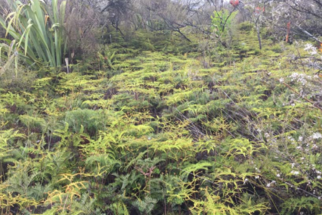
The first project commissioned in early 2015 sought to better understand the importance of the Otakairangi Swamp. The subsequent report, Living Water - Opportunities for restoration: Hikurangi Floodplain by Bev Clarkson, Scott Bartlam, Robbie Price - Landcare Research, recommended that Otakairangi Swamp be restored and a restoration plan be developed. Specifically, the report wanted to see previously destroyed populations of native rushes (Sporadanthus ferrugineus) and invertebrates (Houdinia flexilissima) re-established and peat-forming processes restored to demonstrate to the public what could be achieved.
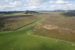
Further reports were needed to determine the best ways of achieving these recommendations and included extensive mapping of the swamp, and understanding the hydrological functioning and resilience of the swamp. In 2016 a drone was used to systematically photograph and map the contours of the swamp. During this work invasive weed species were identified and later controlled. An aerial pig hunt was also carried out.
Living Water needed to know the influence of historic and current drainage on the swamp. In 2017 Waikato University was contracted to complete an Assessment of the Eco-hydrological functioning of Otakairangi WetlandDavid Campbell –Waikato University. Positive interaction and discussions between the report’s author and farmers led to the identification of practical solutions that farmers could implement to improve the eco-hydrological processes of the wetland.
A student involved in the eco-hydrological report went on to complete a Master of Science Thesis: Characterising the degradation and recovery of a wetland remnant- Callum Douglas and David Campbell – Waikato University. The goal was to determine the influence of the central drain on the condition of the wetland and determine the extent of natural recovery by characterising the eco-hydrological functioning. This thesis identified significant points where nutrients were entering parts of the Otakairangi Swamp from two adjoining dairy farms, causing degradation of vegetation and impacting on the functioning and recovery of the ecosystem.
What has the project achieved?
Using baseline data to inform and underpin discussions with adjoining dairy farm owners has enabled Living Water to confirm funding for co-designed projects that will modify the drainage channels that are creating the problem. It has helped design a water quality monitoring plan with equipment being installed to measure changes to sediment and nutrient levels in the central drain of Otakairangi Swamp and other waterways in the catchment. This enabled Living Water to track the effectiveness of the on-farm projects.
Otakairangi Baseline information project
Project start date: 2014