LandscapeDNA
What is the problem?
New Zealand is one of the most geologically diverse countries in the world. Water composition and quality varies widely between regions and catchments around New Zealand, even where there are similar land uses and pressures on the surrounding land. This is due to the influence of natural landscape features, which can account for more than twice the variability in water quality than land use alone. Because of this there can be very different nutrient and emissions losses at a farm level - or even down to paddock level - because of the differences in characteristics such as topography, soil type, geology and slope within a location.
Accurate spatial landscape data (topography, soils, geology) can empower landowners to make their own decisions on how to manage their land to minimise risks of pollution and maximise production. Currently, this information is difficult to obtain and expensive to tailor to a particular paddock, property or catchment. The data that is available is usually not presented in a usable format, is spread across different platforms and organisations, and is not relevant at paddock or property scale.
Dr Clint Rissmann
How will this project address the problem?
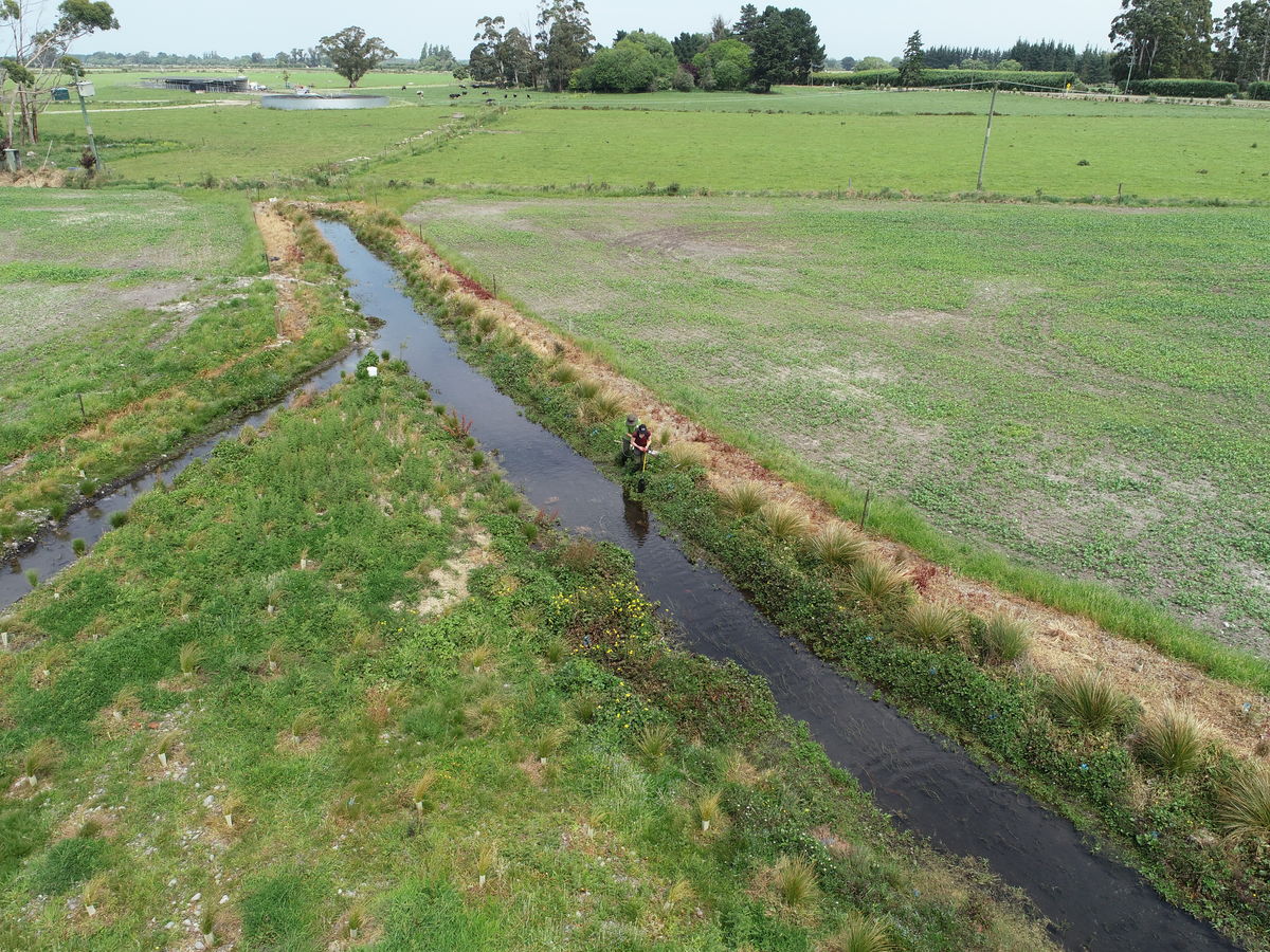
LandscapeDNA builds on the Waituna Physiographic project. Physiographic science works ‘backwards’, using water composition to trace the water’s journey back through the landscape to understand the landscape controls over water composition, and hence quality. Living Water commissioned Land & Water Science Ltd to map how water travels over land and below ground in the catchment, under different rainfall conditions. This information helped inform decisions on where to place catchment-scale interventions like constructed wetlands and peak run-off control structures.
The physiographic approach has been further developed by Land & Water Science Ltd into the LandscapeDNA website, where a range of next-generation datasets and spatial information has been compiled into one platform. The website explains the science behind the mapping and includes an actions section that identifies what on-farm actions and mitigations are recommended based on the physiographic environment.
Many farms have farm environment plans (FEPs) that do not take this landscape data into consideration. LandscapeDNA information can be integrated into FEPs to support on-farm actions and understand how contaminants move through the water system. In addition all parties involved in the catchment can access the same data, on the same platform. This will enable better land management decisions to be made alongside the right interventions and mitigations in the right places and the ability to provide accurate costs of interventions. Remaining financially viable whilst meeting regulatory expectations is at the forefront of challenges that catchments and land users face across the country.
Living Water supported further development of LandscapeDNA to develop a dashboard that provides automated reporting of environmental and spatial data from the many inputs within LandcapeDNA into an understandable format and at a spatially relevant scale i.e. at a paddock scale, a farm-scale and a catchment scale. With a solid business case, the aim is to seek additional funding to deliver a product that integrates accurate landscape information and farm financials to empower land users and rural professionals to mitigate land-use impacts on water quality efficiently and effectively.
Who could use this information?
Catchment groups, landowners, regional and territorial councils, those working in catchment and land management
Partners/More information