Waituna Catchment Nutrient Reduction Project
What is the problem?
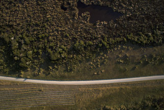
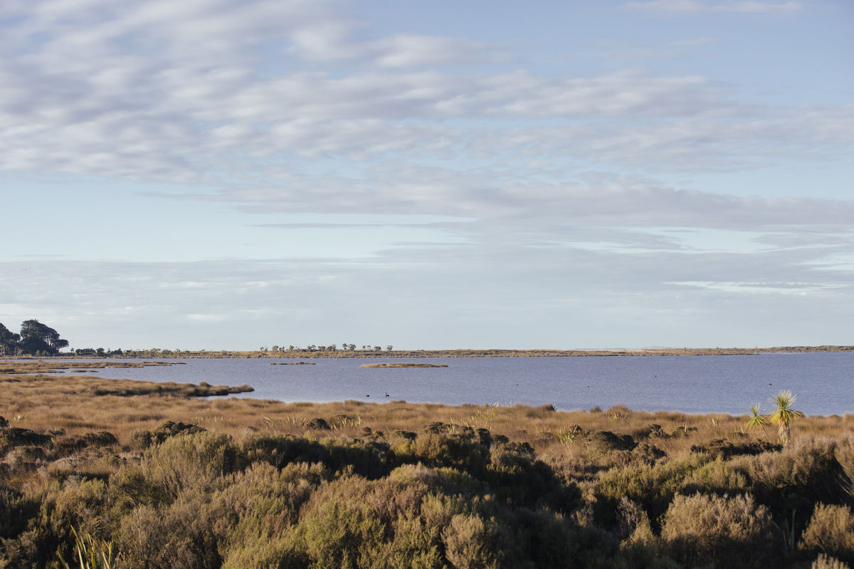
Waituna Lagoon is a highly valued coastal lake designated as a Ramsar Wetland of International Importance. The wetlands provide habitats for a variety of native wildlife and migratory wading birds, and are an important area for mahinga kai species. The lagoon has been contaminated with sediment and nutrients from land use practices within the catchment. In 2014, a technical advisory group recommended the nutrient load (the volume of nutrients in water flowing downstream from farms and surrounding land into the lagoon) be reduced by 50 percent to ensure the long-term ecological health of the lagoon.
What is the project?
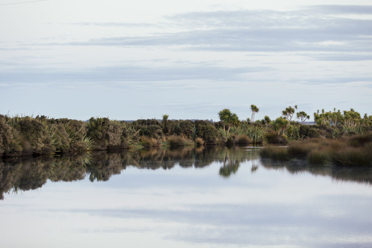
Several organisations, including Living Water, are working towards a solution for the lagoon as part of Whakamana Te Waituna. One of the over-arching objectives of the project is to reduce the rate of sediment and nutrients originating from on-farm and off-farm activities. Living Water is contributing by implementing a catchment-wide nutrient and sediment reduction programme, with the main goals of reducing nutrient and sediment loads to the lagoon and improving the quality of instream fish habitat within Waituna Creek.
What’s been done?
To ensure all the relevant scientific data is available for landowners, farmers and the community to make informed decisions, Living Water contracted Aqualinc, Boffa Miskell, GHD and The Agribusiness Group to work together to review all the existing science in the catchment, including the peak run off control structure trial, and identify a suite of on-farm and off-farm options to reduce contaminants entering the lagoon.
Reducing nutrient runoff is a necessary first step and Living Water has been actively engaging with the 47 Fonterra dairy farmers in the Waituna catchment to develop Farm Environment Plans (FEP). To date 35 Fonterra farms have completed their FEP which will reduce nutrient run-off, and riparian planting is in progress on several farms.
Sediment is also an issue in the Waituna catchment. Peak runoff control structures (PROCS) have been built and a monitoring programme is in place to assess their ability to trap sediment and reduce contaminant loss. Heavy rainfall that produces surface run-off is when most contaminants get washed into rivers and streams, eroding banks and damaging healthy freshwater environments.
Four PROCS are being trialled in the Carrans Creek sub-catchment, that flows into the Waituna Lagoon. PROCS are small dam-like structures built to temporarily hold back stormwater, slowly releasing the water and allowing the sediment and contaminants to settle on the stream bed, rather than washing downstream to smother and destroy habitat and reduce water quality.
Cain Duncan
Fonterra Senior Partnerships Manager
What has Living Water learnt from the project so far?
There is no one quick fix that a single organisation or group can make to resolve these issues. Reducing the nutrient and sediment entering Waituna lagoon requires engaging the Waituna community to get behind a broad range of activities. People are critical to improving water quality and biodiversity. Improving water quality involves changing people’s mindsets as much as how they farm, and successful change requires every landowner in a catchment working together in partnership with iwi, councils, and government.
The Aqualinc report has been completed. This research project identified that building a large constructed wetland in Waituna Creek will reduce nutrient loads by up to 20%. Living Water is currently working to identify and secure land to progress this work. Natural solutions (such as wetlands) should be the priority for addressing freshwater management and ecological restoration challenges. Living Water recognises that nature needs space in productive landscapes, and farm and catchment planning should be based on ecological systems and functions in order to achieve multiple outcomes for water, climate, soils, biodiversity and farm resilience.
Who could use this information?
Farmers and landowners, regional and district councils, catchment groups, river care groups, community groups, and iwi.